The calm bay waters make the Amity Swimming Enclosure a safe place for the kids to splash about or swim. However, the Rainbow Channel carries strong tidal currents just off the beach; it is advisable to swim in the enclosure at all times as this beach is unpatrolled.
Location
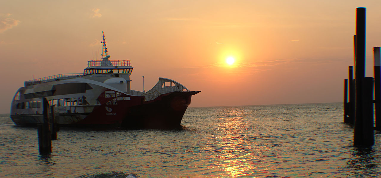
Adams Beach is located on the western side of Straddie facing into the southern half of Moreton Bay. This 700m long strip of high tide sand situated just south of Dunwich is normally very calm except during south-westerly wind conditions. It is fronted by seagrass covered sand flats that widen from 100 m in the north to 300 m in the south and the southern end of the beach grades into a mangrove-fringed shore. The northern end of the beach is bordered by the port facilities of Dunwich and jetty for the ferries and shipping.
Main image courtesy of Marty Smith. To see this image and others in his collection please go to martysmithphoto.org
Location
“Karboora“
Blue Lake is an area of special cultural significance for Quandamooka people who call the lake Karboora, meaning ‘deep silent pool’. The Blue Lake area is within the Naree Budjong Djara National Park. Please enjoy the experience and leave only footprints. Walk the 5.2km (return) track to the lake through wallum woodlands, flowering heath and stunted eucalypts. Wear good walking shoes, take a hat and water. Medium level of fitness required.
History
Is one of the 2 largest and most sacred lakes on the island. Both Kaboora and Bummiera are acknowledged as being the home of an extraordinarily huge carpet snake – jargon snake spirit yuri Kabool. It’s spirit resides in both lakes with the jargon attributed with being able to travel from one lake to another. Kaboora is the main resting place of jargon, and even thought the water continually flows out everyday, the level of sacred water stays the same.Kaboora and it’s jargon were, to the Quandamooka people, a very special place of cultural significance. The old people cationed those that swam and skied on the lakes, so sacred were these lakes that old people would not approach them without a special acknowledgement. Many visitors go into these areas without a thought, but traditionally these lakes were approached with a sense of reverence, cation, respect and even fear. The Elders would always sing out in lingo before they went any further, standing back a fair way to see if there was a sign, before approaching closer to the lakes. If the waters were calm it was a sign that it was okay to proceed, but if there were any ripples or disturbance, it was a warning from jargon not to come any further. To the community, it was a ritual to stop, call out and observe, and the practice gave acknowledgement and respect to the lakes and yuri Kabool that lived there. From Quandamooka Dreaming, by Sandra Delany
nprsr.qld.gov.au
Location
A small tidal beach. Explore the mud flats at low tide, catch yabbies and see armies of soldier crabs. At high tide the bay water rises to meet the white sand. Take a stroll, soak up the sunset, enjoy.
Location
“Bummiera“
A natural perched lake, pure rainwater tinged brown by the native teatrees, Brown Lake, or Lake Bummiera, is a hidden treasure. There are barbecue and picnic facilities and easy road access just 3.5kms outside Dunwich. Popular swimming place and picnic spot. The lake is visible from the carpark. The calm tranquility of the lake is entrancing, especially if you visit in the early morning or late afternoon. In spring, wildflowers dot the surrounding bushland. Lake Bummiera has special significance to the local Aboriginal people, and if you visit at a quiet time of day you’ll feel the magic. Dogs are prohibited in the Brown Lake area.
Website
redland.qld.gov.au
4WD beach access only, permits are required. Do not drive on beach 1 hour either side of high tide. Do not drive or park within 1 metre of any dune vegetation. Comply with regulatory signs and speed limits.This area is part of the Naree Budjong Djara, ‘My Mother Earth’, National Park and we ask that you respect this special place.
Beach permits are obtained from Straddie Camping
Website
straddiecamping.com.au
Cylinder Beach is a picturesque cove between Cylinder and Home Beach Headlands. It is popular with families because it is easily accessible with a carpark situated only metres from the beach. The waves at Cylinder are often smaller and therefore it is perfect for sunbathing and swimming during good weather conditions. However during strong southerly winds there is a side sweep which may carry you parallel to the beach. Cylinder Beach is also a favourite with surfers when the conditions are right. Lifeguards and lifesavers patrol this beach. The lower waves and fine sand maintain a usually wide, low gradient beach fronted by a continuous bar, with the mobile sand waves and bars extending up to 200m off the beach. As a consequence, like all the north side beaches, beach, bar and surf conditions change considerably over time.
Surfing
Offers low right-handers consistently, which can increase up to 10 ft with large swells and suitable configuration of the sandbars.
Swimming
Low to moderate spilling waves along a dynamic beachfront. Often a strong westerly drift. Highly variable bar and trough topography associated with the migrating sand waves can often cause deep holes in the bay shaped beach. Beware of rips when waves exceed 1m.
Fishing
A range of holes and gutters associated with bars and sand waves can form, but often the number of people using Cylinder Beach for other activities can make elsewhere more attractive for fishing.
Dogs
Prohibited.
Parking
Type: Formal parking – 50 spaces
Type: Non-formal parking – 50 spaces
Content based on www.beachsafe.org.au – SLSA
SLSA provides this information as a guide only. Surf conditions are variable and therefore this information should not be relied upon as a substitute for observation of local conditions and an understanding of your abilities in the surf. SLSA reminds you to always swim between the red and yellow flags and never swim at unpatrolled beaches.
Website
beachsafe.org.au
The 600m long beach faces due north. There is a lookout and car park on Cylinder Head and a walking track down to the centre of the beach. The beach is bordered by the points and rocky shore platforms, together with rocks in the centre. Waves averaging 1m move around Point Lookout and, together with the sand, they move around to maintain a highly variable, 100m wide surf zone, usually with a deep trough between the beach and outer bar/sand waves.
Swimming
The north shore beaches offer generally low to moderate waves along a dynamic beachfront. Deadmans Beach is not patrolled, the safest swimming is at the patrolled Cylinder Beach. Be careful off all the beaches as there is highly variable bar and trough topography associated with the migrating sand waves, together with often strong westerly drift and rips, when waves exceed 1m.
Surfing
Can offer low right-handers on a larger swell.
Fishing
The north side is very accessible for beach fishing, usually with a range of holes and gutters associated with the bars and sand waves.
Dogs
On leash at all times.
Parking
Type: Non-formal – 20 spaces
Content based on www.beachsafe.org.au – SLSA and www.redland.qld.gov.au
SLSA provides this information as a guide only. Surf conditions are variable and therefore this information should not be relied upon as a substitute for observation of local conditions and an understanding of your abilities in the surf. SLSA reminds you to always swim between the red and yellow flags and never swim at unpatrolled beaches.
Website
beachsafe.org.au
The calm bay waters make the Dunwich Swimming Enclosure a safe place for the kids to splash about or swim. This beach is unpatrolled.
Location
Forming part of the Naree Budjong Djara National Park, Eighteen Mile Swamp is a shallow, groundwater fed, freshwater coastal wetland stretching almost the entire length of the eastern side of the island. It is the largest of its kind in the world extending to Swan Bay in the south of the island: covers approximately 30km₂.
The vegetation is dense and the swamp is home to many rare and endangered species.
Allegedly, the swamp also contains a mystery shipwreck thought to be the wreck of Pamphlett and Finnegan’s (the men who discovered the Brisbane River).
Main image courtesy of Marty Smith. To view this image and others in his collection please see martysmithphoto.org
The western end of Flinders Beach borders the small township of Flinders and gives access to Amity Point. Please note 4WD access off or onto Flinders Beach at this western end is sometimes not possible.DogsProhibited between Amity Point and Geera Street, Amity Point.
The western end of Flinders Beach borders the small township of Flinders and gives access to Amity Point. Please note 4WD access off or onto Flinders Beach at this western end is sometimes not possible.DogsProhibited between Amity Point and Geera Street, Amity Point.
Location
Flinders Beach is an 8 km long, north-east to north facing beach, stretching from Amity Point to Adder Rock headland, Point Lookout. There is vehicle access to the beach toward the western end along the Flinder’s Beach Road, which also leads to a camping area and car park, and in the east at Adder Rock, where there is also a beachfront camping ground. The beach has a relatively low gradient and is either barless or fronted by a narrow continuous bar, particularly toward the east. Seaward of the bar, sand moves from east to west in the form of elongate sand waves and bars, which result in a highly variable outer surf zone. During high swell a strong westerly drift runs along and off the beach.
Location
Frenchman’s Beach faces due east, receiving little protection from the prevailing south-east waves. The beach is 500m long and is backed by steep, densely vegetated bluffs, access to the beach is either around Dune Rocks from Deadmans Beach, or down a signed steep walking track from the main road. The beach receives waves averaging between 1 and 1.5m, which maintain an inner bar usually cut by two rips, including a permanent rip against Dune Rocks.
History
In the late 19th Century, four men sailed west from the French-speaking South Pacific islands. They landed on this beach, which was named after them. The four men, Jack Newfong, John Lifu, George Fenoch and Richard Martin, were taken to the Myora/Moongalba Mission, where they ended up settling. Descendants of these four men still live on North Stradbroke Island.
Swimming
CAUTION: beach as is rip-dominated and hazardous.
Surfing
Can have good beach breaks over the bars when southerlies are blowing offshore.
Fishing
Popular fishing location owing to the rips and rocks. CAUTION: rock fishers should use care.
Dogs
On leash at all times.
Parking
Type: Non-formal road side – 6 spaces
Content based on www.beachsafe.org.au – SLSA and www.redland.qld.gov.au
SLSA provides this information as a guide only. Surf conditions are variable and therefore this information should not be relied upon as a substitute for observation of local conditions and an understanding of your abilities in the surf. SLSA reminds you to always swim between the red and yellow flags and never swim at unpatrolled beaches.
HOME BEACH
The beach faces north-north-east toward Shag Rock, 1.5 km offshore. Sand waves change over time, so too does the nature of the shoreline, bars and surf. There is access to the beach at Adder Rock, at some access tracks along the beach, and at the east end, below the Point Lookout Hotel headland.
History
Home Beach was named from the era when the only route to Point Lookout was from Amity via Flinders Beach. When the bus got to Adder Rock, the last beach was called Home Beach because it was almost home.
Swimming
Generally low to moderate plunging waves along a dynamic beachfront. Home Beach is not patrolled, the safest swimming is at the patrolled Cylinder Beach. Be careful of strong westerly drift and rips, when waves exceed 1m.
Surfing
Not usually suitable conditions.
Fishing
A range of holes and gutters associated with the bars and sand waves.
Dogs
Off leash under owner’s supervision.
Parking
Type: Non-formal – 6 spaces
Content based on www.beachsafe.org.au – SLSA and www.redland.qld.gov.au
SLSA provides this information as a guide only. Surf conditions are variable and therefore this information should not be relied upon as a substitute for observation of local conditions and an understanding of your abilities in the surf. SLSA reminds you to always swim between the red and yellow flags and never swim at unpatrolled beaches.
The south-east tip of the island, at the far southern end of Main Beach. To the south of Jumpinpin lies the channel between North Stradbroke Island and South Stradbroke Island. It is fast moving, deep channel water, not suitable for swimming but popular for fishing. 4WDJumpinpin is only accessible by onland by four wheel drive vehicles. Only attempt this drive if you have a valid permit for your vehicle, are aware of the permit conditions, are confident of the 33km beach drive, are confident the appropriate tide times coincide with your drive there and back, and are confident the ocean swell is not unusually large at the time or has recently caused extreme dune formations hindering beach driving.Swimming CAUTION: Strong tidal currents in the deep channel and abundance of large marine wildlife, swimming not advised.FishingGood beach fishing. Popular for bream, flathead, tailor, tarwhine, whiting, jew and mullet seasonally.DogsOn leash at all times.Content based on www.beachsafe.org.au – SLSA and www.redland.qld.gov.auSLSA provides this information as a guide only. Surf conditions are variable and therefore this information should not be relied upon as a substitute for observation of local conditions and an understanding of your abilities in the surf. SLSA reminds you to always swim between the red and yellow flags and never swim at unpatrolled beaches.
The northern end of the swamp, the Keyholes, are clear freshwater lakes, delightful for stand up paddle boarding or kayaking. It is approximately a 1 hour walk, along the beach and over the dunes, from Main Beach Headland, Point Lookout.
Location
The east-facing beach runs south for 33km to Jumpinpin Inlet. The waves maintain a 200m wide double bar system, with the inner bar usually attached to the beach and cut by deep rip channels every 200 to 300m. A deep trough parallels this bar, with the outer bar on its seaward side cut by more widely spaced rips.
Swimming
Swim in the patrolled area. Down the beach, stay well clear of strong northern rip and rips down the beach. Stay on the inner portion of an attached bar.
Surfing
Popular surfing beach, with good breaks over the outer bar and easy access via the northern rip channel. It works best on a low to moderate swell and west to northwest winds.
Fishing
Popular beach fishing, for vehicle beach access see ‘Point Lookout Beach Access’ or ‘Causeway Beach Access’.
Dogs
Prohibited at northern end, on leash at all times elsewhere on beach.
Parking
Type: Formal – 50 spaces
Content based on www.beachsafe.org.au – SLSA and www.redland.qld.gov.au
SLSA provides this information as a guide only. Surf conditions are variable and therefore this information should not be relied upon as a substitute for observation of local conditions and an understanding of your abilities in the surf. SLSA reminds you to always swim between the red and yellow flags and never swim at unpatrolled beaches.
The northern end of the swamp, the Keyholes, are clear freshwater lakes, delightful for stand up paddle boarding or kayaking. It is approximately a 1 hour walk, along the beach and over the dunes, from Main Beach Headland, Point Lookout.
“Capeembah”
Myora Springs is a beautiful spot and source of fresh water for the wildlife of the Dunwich area, just a few kilometres out of Dunwich on the road to Amity Point and Point Lookout. Myora Springs, or Moongalba (sitting down place) has a pure-freshwater spring that is running today, just as it has for thousands of years. In the forest surrounding the Myora Springs is an abundance of freshwater crayfish, prawns, bungwal fern and other plant foods and so it is no surprise to learn this was a favoured camping place of the Aboriginal people. The banks feature parts of large middens, which contain, among other things, cockle, oyster and whelk shells. Nearby lived a descendant of the Nunukul people, Oodgeroo. She was well known as an author and poet who wrote such books as Stradbroke Dreamtime. In 1978 it was discovered that Myora is home to a rare nocturnal mammal thought to be extinct, the false water rat. Dogs are prohibited in the Myora Springs area.
4WD beach access only, permits are required. Do not drive on beach 1 hour either side of high tide. Do not drive or park within 1 metre of any dune vegetation. Comply with regulatory signs and speed limits.
South Gorge is a popular beach owing to its protection from most winds and calmer inshore waters. However in the surf and off the beach there is a strong permanent rip, as well as rocks to either side.
Swimming
Relatively safe inshore, however you will encounter the strong permanent rip in deeper water.
Surfing
Not usually suitable conditions.
Fishing
Be careful as the rocks are steep and are washed by large waves.
Dogs
On leash at all times.
Parking
Type: Formal – 20 spaces
Content based on www.beachsafe.org.au – SLSA and www.redland.qld.gov.au
SLSA provides this information as a guide only. Surf conditions are variable and therefore this information should not be relied upon as a substitute for observation of local conditions and an understanding of your abilities in the surf. SLSA reminds you to always swim between the red and yellow flags and never swim at unpatrolled beaches.
“Mooloomba”
Point Lookout is popular for its magnificent surf beaches, land-based whale watching from the headland, beautiful North Gorge walk, retail shops, restaurants and holiday accommodation with stunning views of the Coral Sea. Point Lookout has a real, no-fuss, beach holiday vibe; the way holidays used to be.